Day 34: Forestdale Creek to Echo Lake

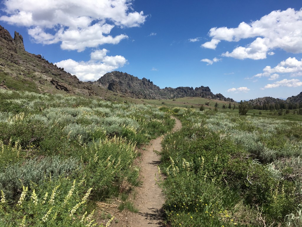
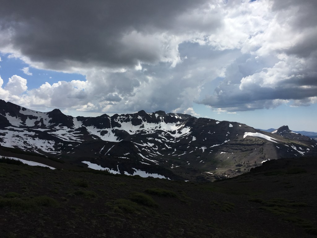
A few miles of trekking under a clear, bright morning sky brought me to Carson Pass, a trailhead complete with an information center staffed by a group of friendly volunteers. Upon my arrival they took out the trail register for me to sign and offered me a plate of fresh cut watermelon, soda, and even a small fridge magnet emblazoned with “Carson Pass: PCT 2019”. These guys were prepared! I sat down with another group of hikers to enjoy the unexpected second breakfast, feeling grateful for the hospitality.

After crossing the pass I strolled blissfully along the Upper Truckee River in Meiss Meadow, a gorgeous alpine valley where a German immigrant family had built a summer cabin in the 1870s. Getting very tired of my standard lunch of tortillas I decided to hustle to the Echo Lake Chalet for a hot sandwich and ice cream. Getting there involved crossing the multi-lane Highway 50 at Echo Summit, the most dangerous road crossing I had encountered yet with cars and trucks zooming by at 60 miles an hour. Eventually there was a break in the traffic and I scuttled across, reaching the Chalet just before they closed for the afternoon. I cracked open a beer and sat down on a log to enjoy my sandwich and listen to hikers swap stories around me, awaiting a ride from my dad into town and home.

Day 33: Ebbet’s Pass to Forestdale Creek

After a final delicious fresh breakfast and plenty of coffee, Carlin and Sara dropped me back at Ebbet’s Pass on their way to San Francisco. I hiked a short way along the narrow highway to the north trailhead and who do I run into but Pioneer and Bubblewrap, the two hikers I had first met on Day 3! I had last seen them over two weeks before at Muir Pass in King’s Canyon. You never know when someone you’ve meet on the trail will suddenly pop up again. Unfortunately I couldn’t stop to hang out as I had a wedding in Tahoe to get to, and I pushed on alone into Mokelumne Wilderness.

The pine and fir forests alternating with open hillsides covered in sagebrush and mule’s ear plants began to look more and more like the mountains around my parents’ house, bringing a strong sense of homecoming to my chest and an idea to my head: the possibility of ending my trek once I got to Tahoe. After all, I had hiked the High Sierra, the section of the PCT I had been most excited to see, and the upcoming Northern California section sounded none too popular among veteran hikers. What could I look forward too now that the most beautiful section of the trail was behind me? I pondered this question as I cooked a bowl of ramen noodles, the light fading among the smooth-barked trees and hardscrabble rocks of camp.

Day 32: Grover Hot Springs

In the month since I began hiking the PCT, I had not yet taken what is called a “zero” day: a day during which a hiker clocks zero trail miles, usually spent in town getting supplies, resting, and eating copious amounts of restaurant food (the greasier the better). I did take a couple of “nearo” days, hiking only a few miles to get into/out of town, but today would be my first true zero day. I was very much looking forward to it.

Of course, with my friend Kaitlin I should’ve known that lazing around camp in a hammock was not in the cards. Instead we hiked eight miles almost straight up the hot mountainside to Burnside Lake. I jumped straight in with my trekking clothes still on, hoping the cool water would wash away some of the grime and stink they had accumulated over the past week. We later stopped in at the hot springs themselves, which consisted of a large man-made pool of greenish water crowded with bathers. I found a spot near the steps and lowered my sore body into the pool, sinking into a state of bliss interrupted only by the noise of kids shouting and running around the deck. Zero day or non-zero day, it was a day well spent.

Day 31: Wolf Creek Tributary to Ebbet’s Pass

Every year my college friend Kaitlin plans a camping trip for her birthday, and this year the site she picked at Grover Hot Springs just so happened to be not too far off the PCT. I had some extra time to relax in the morning before meeting her and her fiance Scott where the trail crosses Highway 4 at Ebbet’s Pass, so I decided to make the most of it. I enjoyed a hot breakfast of instant oatmeal and tea, a nice break from my standard cliff bar. Taking a leisurely pace through forest that began to look more and more like where I grew up in Lake Tahoe, I passed a couple of small lakes before climbing up to a saddle with some nice views above Noble Lake.

After several days hiking more or less alone on the trail and the physical and emotional challenges of the past week, I was very excited to meet up with an old friend and spend a couple of nights hanging around a fire in an established campground. I got to the rendezvous point an hour early and waited on a rock by the side of the road. When Kaitlin finally pulled in to the trailhead, I jumped in the car and we drove the short distance past the tiny town of Markleeville to the campground. Thruhiking definitely makes you appreciate the small luxuries of potable water, toilets and fire pits, and a real cooked meal. Our friends Carlin and Sara joined the party a couple of hours later. Seeing my old friends really lifted my spirits and we happily shared a few beers while catching up around the campfire.

Day 30: Sonora Pass to Wolf Creek Tributary

Clambering among the reddish rocky outcrops on the north side of Sonora Pass, I met a hiker named Martin from the Czech Republic. We struck up a conversation and proceeded to hike most of the day together, swapping trail stories and discovering a shared love of watching the stars in the brilliantly clear Sierra sky. We ate lunch on a flat boulder halfway up a canyon, airing our feet out and changing socks to avoid blisters.

After lunch the sky steadily grew darker as rain clouds gathered on the horizon. Soon enough we could see lightning crackling to the south, and this time once the rain began it kept going all afternoon. Following the trail across an open ridge, I took my ice axe/lightning rod from the top of my pack and carried it in my hand instead in what was probably a futile effort (Martin certainly thought so). When the thunder seemed as if it were ripping directly overhead we decided to wait out the heart of the storm and sheltered in some dense forest. This was my first real day of rain on the trail, and I enjoyed listening to the drops plop quietly among the trees. The music of the rain.

Day 29: Dorothy Lake to Sonora Pass

At midday under the hot sun I reached the start of a long climb up a barren, scree-covered ridge. Although a few switchbacks were still submerged in snow, the intense heat beat down on me as I steadily gained altitude. Reaching the summit I looked north to the trail ahead and saw the path winding along the desolate ridge-top under some friendly-looking cumulus clouds, expansive views of the valleys and ranges dropping off to either side. Then I looked south. An unbroken sea of the darkest clouds I had yet seen were gathering in the distance. And they appeared to be coming my way.

I checked the map. Eight miles to Sonora Pass. Eight long miles of completely exposed ridge walking, and me with a giant metal ice axe sticking out the top of my pack. Probably not the best place to be if those dark clouds heralded a thunderstorm. I could either go back down the way I had come and find shelter, or push on to where the trail descended steeply to the highway pass. Watching the clouds for a minute, I decided to try for the pass.

Hustling as fast as I could across the rocky landscape, I traversed large snow patches and clambered over boulder fields while it slowly become darker and darker, the thunderclouds starting to amass around the barren ridge. Taking only a couple of short breaks to catch my breath, I finally reached the point where the trail began to descend. As soon as I did, a roaring clap of thunder pealed out of the sky directly above where I stood. I glanced ahead and saw the trail take a very long and slow path switchbacking down the mountain. Just off the the left, however, lay an steep patch of snow with a clear route where previous hikers had glissaded to the bottom. Trusting that the slide didn’t lead directly over a cliff, I took out my ice axe, sat down on the snow and slid quickly down from the ridge just as the storm truly began to rage.

With lighting flashing in the near distance and piercing thunder howling above me, I dropped about a thousand feet in the span of a few minutes. Tossing my metal axe and trekking poles to the side, I took shelter next to some bushes at the bottom while the storm poured down rain. It passed quickly, and by the time I arrived at Sonora Pass it was as if those dark clouds had never been, the sun shining brightly in a clear blue sky.

Day 28: Stream Confluence to Dorothy Lake Plateau

Have you ever tried pooping in the woods while a giant swarm of mosquitoes incessantly attacks you? I have, and I can tell you it isn’t pleasant. Welcome to mosquito hell.

The day started out pleasantly enough. A couple of short climbs over mountain ridges led steeply down into narrow creek canyons. While trying to cross Piute Creek over a log jam, I stepped onto what looked like solid wood and my leg immediately plunged deep into the dark water. Let that be a lesson to never trust wood as a foothold. It was a minor inconvenience however, and I continued trekking over another small pass and along pretty Wilma Lake. By the time I got to Falls Creek, I had hiked 17 miles and was about ready to find a spot to set up camp.

Unfortunately Falls Creek turned out to be a muddy marsh, and as I walked ahead with one eye out for a good tentsite, the mosquito hordes descended. I quickly put my head net on, only to trap several mosquitoes inside it with me. Smashing those I could see I ran ahead, bloody mosquito corpses rolling around the bottom of the net. The only thing to do was to try to keep moving fast enough that the vicious bugs didn’t have time to land and add another bite to my already swelling body. I had never hiked more than about 20 miles in a day before, but I kept on pushing well beyond that in hopes of reaching the end of this hellish nightmare swamp. My legs burning, I put earbuds in and started playing Linkin Park songs to keep me going. The trail often disappeared into the thick mud, forcing long detours to the side or risking getting my feet stuck. I imagined sinking down into the bog, the mosquitoes feasting on my ailing body as darkness fell. Some hiker would find me in the morning, covered in muck and swollen beyond all recognition.

After what felt like hours, I finally made it to some higher ground firm enough to pitch my tent. As soon as it was set I plunged inside, bringing a few of the bugs with me. Most remained stuck outside, and with a mixture of glee and horror I watched them cling in their hundreds to the tent mesh. I just hoped they wouldn’t be there in the morning.

Day 27: Glen Aulin to Stream Confluence

A bright morning walking through wide, grassy meadows led me up to Miller Lake, a crystal clear pool complete with tiny beach! Tossing my shoes aside I stepped in to the cool water to soothe my calloused feet. Digging in to a tortilla sandwich with my toes in the sand, I mentally prepared myself for the pass ahead.

The approach to Benson Pass looked simpler than many of the previous hair-raising passes I had crossed farther south. Despite the apparent ease, I still managed to make it into a challenge by losing the trail and having to shove my way through thickets of manzanita bushes until I eventually found it again. The path followed a small creek through a canyon before making a sharp turn to the west and over the pass. The top offered some nice views but the real prize was another gorgeous lake just below, where I took off my (by this point probably very smelly) clothes and attempted a swim. Mosquitoes swarmed as soon as I revealed my bare skin, cutting my time sunbathing on the rocks short.

A short distance down the trail from the lake I found a copse of trees with some nice flat tentsites. The streams on either side meant more mosquitoes though, and both I and a Japanese couple camping nearby dove straight into our tents after dinner. Little did I know this was just a taste of the true horror the next day would bring.

Day 26: Donahue Pass to Glen Aulin

Entering Yosemite National Park along the meandering Lyell Fork of the Tuolumne River, I found it difficult to enjoy the lush green meadows and beautiful alpine scenery surrounding me. Meredith and I had gotten into a heated argument that morning, and emotions were raw as we slowly descended from the snowy heights of the pass to the high plateau of Tuolumne Meadows. I got a cheeseburger from the campground store but didn’t really taste it as we sat at a picnic table outside, not talking much while the bustling tourist hordes flitted around us. After two weeks hiking together this was her last stop, and while she caught a ride down to the valley I got back on the trail to continue my journey north.

Feeling dejected due to our fraught departure, it took some time for me to look up and pay attention to the mountains again. When I finally did, I was rewarded with a view of the Tuolumne River roaring over a 50-foot drop in the granite, the mist from the falls casting a rainbow inside the narrow canyon. As I stood there on a rocky outcrop above the tumult, icy mist droplets peppering my face, a strong sense of calm washed over me. Refreshed by this visceral reminder of where I was I continued along the path, taking in the simple beauty of walking in nature.

Day 25: Rosalie Lake to Donahue Pass

It is very easy to lose track of the days when thru-hiking. Almost every day has the same pattern: wake up, eat, hike, eat, hike, eat, sleep. This tendency can have a meditative effect as you lose yourself in the trail, but can also lead to trouble when you have shipped a box of food ahead to a small-town post office, end up getting there at 5:01 pm on a Friday and are then stuck waiting until it opens again Monday morning to retrieve your box.

Thankfully I never had this issue, but as we approached Garnet and Thousand Island Lakes on the JMT we started seeing inordinate numbers of backpackers, many fresh-faced and with dogs in tow. As I happily watched the dogs rollick around in the snow, I wondered aloud, “Wow, there really seem to be a lot of people on the trail today.” Duh, of course, it must be the weekend! On this sunny Saturday in late July the trail was filled with weekenders, out on two-to-three day treks to enjoy the alpine lakes.

They chose a good spot to visit. We sat down at the narrow end of Thousand Island Lake to eat lunch, gazing across the serene blue water to the granite islands and snowy peaks on the other side. A few fishing lines broke the surface, as intrepid hikers cast about looking for mountain trout. Lying down on the grass in the warm sun, I dozed off in alpine paradise.