Day 33: Ebbet’s Pass to Forestdale Creek

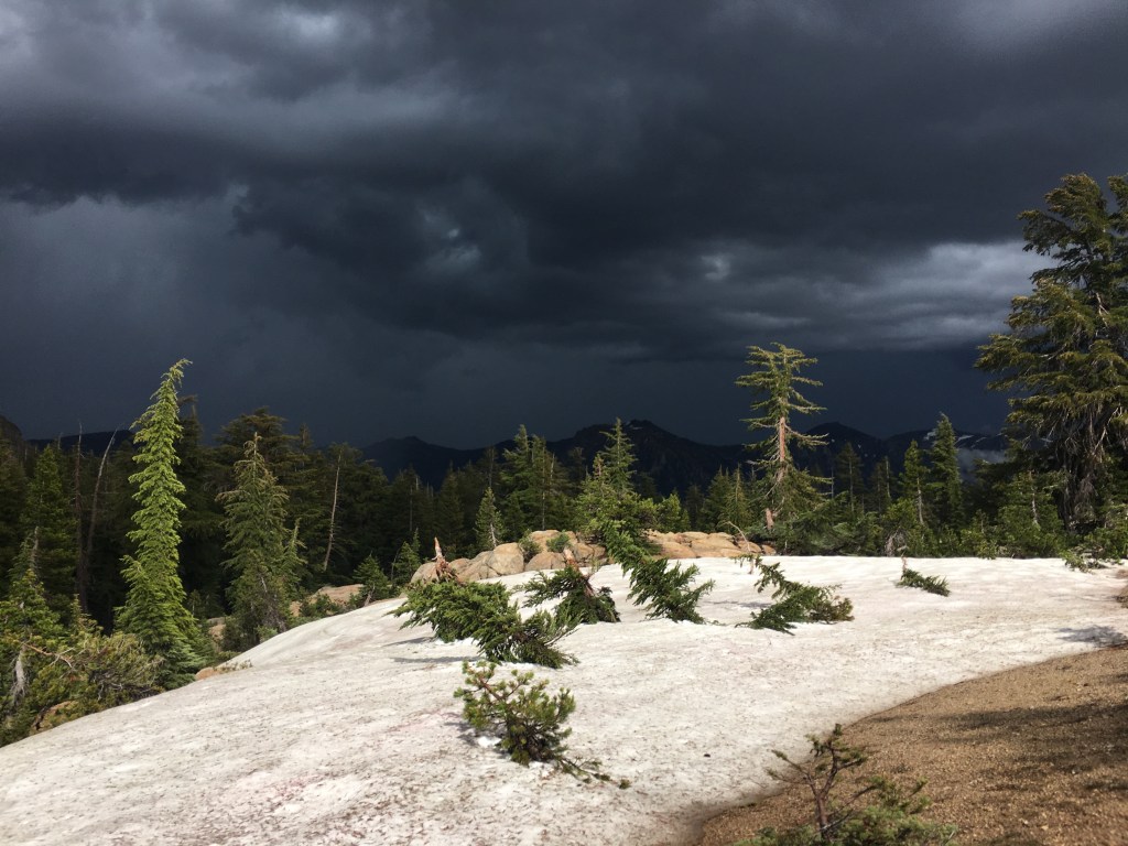
After a final delicious fresh breakfast and plenty of coffee, Carlin and Sara dropped me back at Ebbet’s Pass on their way to San Francisco. I hiked a short way along the narrow highway to the north trailhead and who do I run into but Pioneer and Bubblewrap, the two hikers I had first met on Day 3! I had last seen them over two weeks before at Muir Pass in King’s Canyon. You never know when someone you’ve meet on the trail will suddenly pop up again. Unfortunately I couldn’t stop to hang out as I had a wedding in Tahoe to get to, and I pushed on alone into Mokelumne Wilderness.

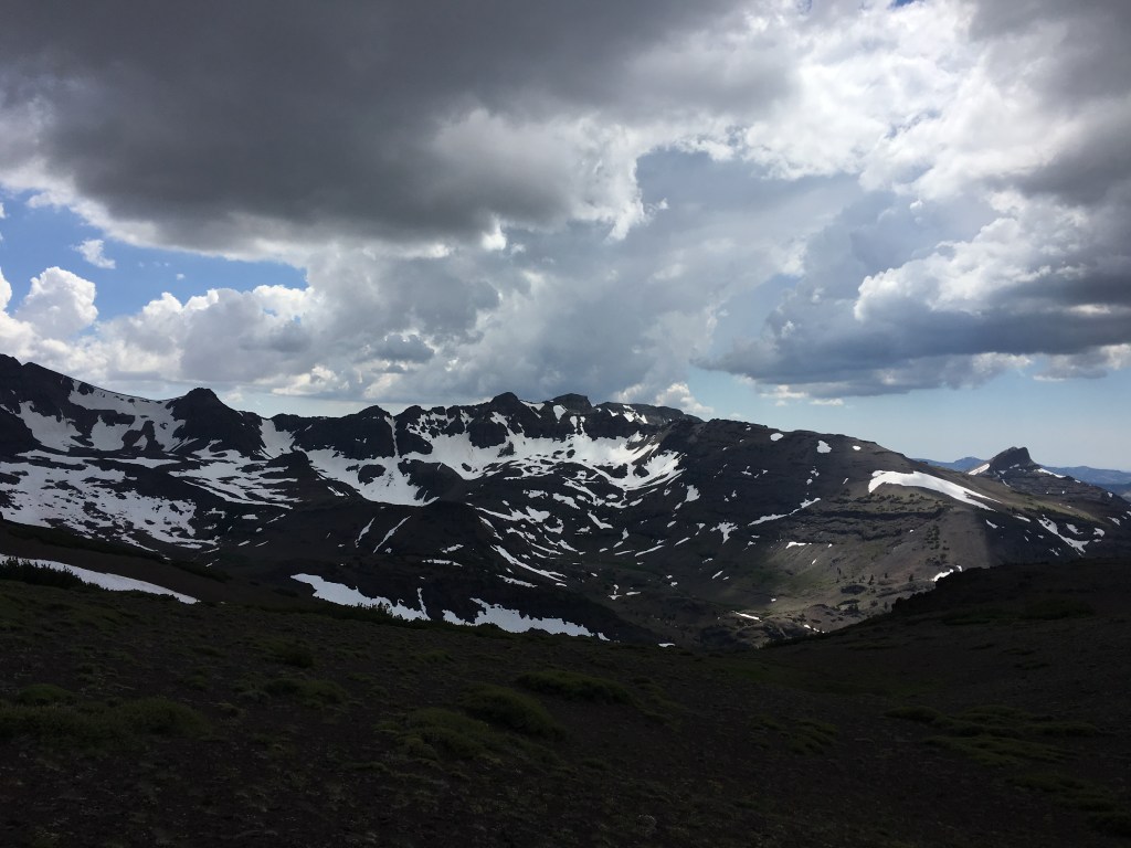
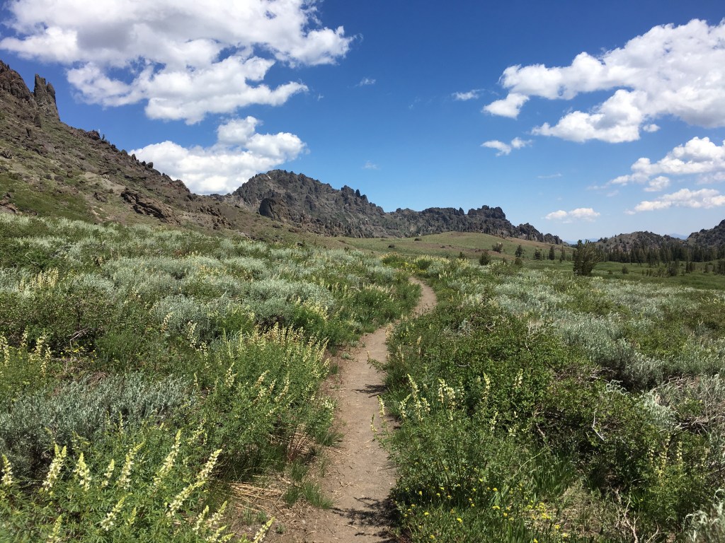
The pine and fir forests alternating with open hillsides covered in sagebrush and mule’s ear plants began to look more and more like the mountains around my parents’ house, bringing a strong sense of homecoming to my chest and an idea to my head: the possibility of ending my trek once I got to Tahoe. After all, I had hiked the High Sierra, the section of the PCT I had been most excited to see, and the upcoming Northern California section sounded none too popular among veteran hikers. What could I look forward too now that the most beautiful section of the trail was behind me? I pondered this question as I cooked a bowl of ramen noodles, the light fading among the smooth-barked trees and hardscrabble rocks of camp.

Day 30: Sonora Pass to Wolf Creek Tributary

Clambering among the reddish rocky outcrops on the north side of Sonora Pass, I met a hiker named Martin from the Czech Republic. We struck up a conversation and proceeded to hike most of the day together, swapping trail stories and discovering a shared love of watching the stars in the brilliantly clear Sierra sky. We ate lunch on a flat boulder halfway up a canyon, airing our feet out and changing socks to avoid blisters.

After lunch the sky steadily grew darker as rain clouds gathered on the horizon. Soon enough we could see lightning crackling to the south, and this time once the rain began it kept going all afternoon. Following the trail across an open ridge, I took my ice axe/lightning rod from the top of my pack and carried it in my hand instead in what was probably a futile effort (Martin certainly thought so). When the thunder seemed as if it were ripping directly overhead we decided to wait out the heart of the storm and sheltered in some dense forest. This was my first real day of rain on the trail, and I enjoyed listening to the drops plop quietly among the trees. The music of the rain.

Day 29: Dorothy Lake to Sonora Pass

At midday under the hot sun I reached the start of a long climb up a barren, scree-covered ridge. Although a few switchbacks were still submerged in snow, the intense heat beat down on me as I steadily gained altitude. Reaching the summit I looked north to the trail ahead and saw the path winding along the desolate ridge-top under some friendly-looking cumulus clouds, expansive views of the valleys and ranges dropping off to either side. Then I looked south. An unbroken sea of the darkest clouds I had yet seen were gathering in the distance. And they appeared to be coming my way.

I checked the map. Eight miles to Sonora Pass. Eight long miles of completely exposed ridge walking, and me with a giant metal ice axe sticking out the top of my pack. Probably not the best place to be if those dark clouds heralded a thunderstorm. I could either go back down the way I had come and find shelter, or push on to where the trail descended steeply to the highway pass. Watching the clouds for a minute, I decided to try for the pass.

Hustling as fast as I could across the rocky landscape, I traversed large snow patches and clambered over boulder fields while it slowly become darker and darker, the thunderclouds starting to amass around the barren ridge. Taking only a couple of short breaks to catch my breath, I finally reached the point where the trail began to descend. As soon as I did, a roaring clap of thunder pealed out of the sky directly above where I stood. I glanced ahead and saw the trail take a very long and slow path switchbacking down the mountain. Just off the the left, however, lay an steep patch of snow with a clear route where previous hikers had glissaded to the bottom. Trusting that the slide didn’t lead directly over a cliff, I took out my ice axe, sat down on the snow and slid quickly down from the ridge just as the storm truly began to rage.

With lighting flashing in the near distance and piercing thunder howling above me, I dropped about a thousand feet in the span of a few minutes. Tossing my metal axe and trekking poles to the side, I took shelter next to some bushes at the bottom while the storm poured down rain. It passed quickly, and by the time I arrived at Sonora Pass it was as if those dark clouds had never been, the sun shining brightly in a clear blue sky.

Day 27: Glen Aulin to Stream Confluence

A bright morning walking through wide, grassy meadows led me up to Miller Lake, a crystal clear pool complete with tiny beach! Tossing my shoes aside I stepped in to the cool water to soothe my calloused feet. Digging in to a tortilla sandwich with my toes in the sand, I mentally prepared myself for the pass ahead.

The approach to Benson Pass looked simpler than many of the previous hair-raising passes I had crossed farther south. Despite the apparent ease, I still managed to make it into a challenge by losing the trail and having to shove my way through thickets of manzanita bushes until I eventually found it again. The path followed a small creek through a canyon before making a sharp turn to the west and over the pass. The top offered some nice views but the real prize was another gorgeous lake just below, where I took off my (by this point probably very smelly) clothes and attempted a swim. Mosquitoes swarmed as soon as I revealed my bare skin, cutting my time sunbathing on the rocks short.

A short distance down the trail from the lake I found a copse of trees with some nice flat tentsites. The streams on either side meant more mosquitoes though, and both I and a Japanese couple camping nearby dove straight into our tents after dinner. Little did I know this was just a taste of the true horror the next day would bring.

Day 26: Donahue Pass to Glen Aulin

Entering Yosemite National Park along the meandering Lyell Fork of the Tuolumne River, I found it difficult to enjoy the lush green meadows and beautiful alpine scenery surrounding me. Meredith and I had gotten into a heated argument that morning, and emotions were raw as we slowly descended from the snowy heights of the pass to the high plateau of Tuolumne Meadows. I got a cheeseburger from the campground store but didn’t really taste it as we sat at a picnic table outside, not talking much while the bustling tourist hordes flitted around us. After two weeks hiking together this was her last stop, and while she caught a ride down to the valley I got back on the trail to continue my journey north.

Feeling dejected due to our fraught departure, it took some time for me to look up and pay attention to the mountains again. When I finally did, I was rewarded with a view of the Tuolumne River roaring over a 50-foot drop in the granite, the mist from the falls casting a rainbow inside the narrow canyon. As I stood there on a rocky outcrop above the tumult, icy mist droplets peppering my face, a strong sense of calm washed over me. Refreshed by this visceral reminder of where I was I continued along the path, taking in the simple beauty of walking in nature.

Day 22: Mott Lake Junction to Duck Lake Outlet

In the morning we were immediately treated to the Silver Pass Creek waterfall, a brilliant cascade falling across a series of granite steps right above the trail. The aptly named silvery water flowed directly over the path for about 20 feet, soaking my feet but inspiring sheer joy as the cold spray reflected the bright morning light in a million different directions.

From the creek we made the climb up to Silver Pass itself, where a giant snowfield obscured the path ahead. Lucky for us, previous hikers had blazed a long chain of glissades across the snow and straight down the mountain. Nothing for it, we hitched up our trekking poles and gleefully slid all the way to the small lake at the bottom of the pass, bypassing a solid mile of postholes and half-melted snow.

Arriving at our planned campsite we found most spots already taken, but I managed to set the tent up on top of a granite slab using large rocks for anchors in place of the usual stakes. We spent the evening around a fire with a group of young John Muir Trail hikers and a couple of southbound Danes, who had braved Forester Pass during an intense snowstorm back in May. The group’s energy was infectious, and after more than a week in the wild I was very glad for the company.

Day 21: Marie Lake to Mott Lake Junction

An early start from the serene Marie Lake led us down to the ford at Bear Creek, regarded as one of the most dangerous crossings on the PCT. Around 9am the current was flowing strong, but after surveying the scene and noting that the closest log crossing was a quarter mile downstream, we decided to try crossing at the trail. At midstream the chilly water rose almost to my waist, threatening to push me over and into a long, unfortunate ride down the river. Taking it one slow step at a time I managed to withstand the flow and reach the opposite shore, soggy but safe.

Once we strapped our packs back on and dumped the water out of our shoes, however, we were immediately set upon by a horde of mosquitoes. Walking fast kept some of the supremely annoying insects from landing on me, but I couldn’t outrun them all. Luckily I had brought a head net and quickly slid it over the brim of my hat. As we passed along Bear Creek down toward the turnoff to Vermilion Valley Resort (a popular hiker stopover), I noticed a single solid hiking boot left abandoned on the side of the path, and could only assume that its owner had succumbed to the cloud of mosquitoes relentlessly chasing me into the hot afternoon.

Day 20: San Joaquin River to Marie Lake

IMG_3490(1)

Leaving Kings Canyon in the cold shadows of the early morning, we took a short detour from the PCT to Muir Trail Ranch. In the long stretch of trail between Independence and Mammoth, shipping a food bucket to MTR is one of the only options if you want to resupply. I collected my bucket (they don’t allow boxes because of the rough overland journey it takes to get there) from a shed near the entrance and we began the process of dumping trash and sorting food. While divvying up oatmeal and ramen packets we met a friendly family hiking the John Muir Trail, who offered us their extra oreos and non-perishable bacon (I had no idea this existed). We greedily scarfed down everything they were willing to give us, and with contentedly full stomachs left the Ranch to continue our journey.

The path back to the PCT proved difficult, as we earlier had descended to MTR and now faced a very steep, hot, and exposed trek up toward Selden Pass. Soon enough, however, we were back among the snowfields, waterfalls, and placid alpine lakes of the high mountains. After dealing with some slick ice on the north side of the pass I went on the hunt for a dry campsite next to Marie Lake. When I walked over to a promising spot near the water, I heard a piercing yell and glanced to my left just in time to see a pair of naked hikers leaping into the half-frozen lake. The hikers later joined us for dinner and one, a photographer from Bulgaria, showed me how to take photos of the perfectly clear night sky with his SLR camera, capturing the light of a million stars.

Day 19: Sapphire Lake to San Joaquin River

IMG_3451

By the morning Meredith’s leg was feeling better and we set out into the valley, passing by the very serene Evolution Lake and watching fat marmots pop in and out of nearby jumbles of gray rocks. I had been warned that Evolution Creek posed a potentially dangerous crossing at the trail (hikers have been known to get swept away by the current, especially in high snow years) so we took an alternate route through a mud-filled meadow to cross at what turned out to be a relatively deep, but wide and shallow, section of the creek. The other side proved to be equally muddy.

A long, steep descent past gnarly old juniper trees followed, until we arrived at the valley floor and a pair of bridges across the South Fork of the San Joaquin River, which eventually flows all the way into San Francisco Bay. We camped next to the river, and as this would be our final night in Kings Canyon National Park I decided to build my one and only campfire on the trail to celebrate.

Day 18: Grouse Meadow to Sapphire Lake

IMG_3364

The approach to Muir Pass was long, but mostly it was snowy. For almost three full miles leading up to the crest, we tramped past frozen lakes and infrequent rock outcroppings through deepening snow. Bubblewrap, Pioneer, and an Australian friend played catch up with us as we took turns hiking past each other. At last, after a final push up a steep snow hill, we reached the stone beehive-esque shelter at the top. Having been assaulted by blinding light reflecting off the snow for much of the morning, the inside of the hut appeared pitch dark. Soon my eyes adjusted, and together with a large group of international hikers I put my feet up and enjoyed a well-deserved bag of peanut M&Ms.

The trail north of the pass looked straight from the planet Hoth. Glinting ice and snow surrounded us as we slogged our way along the melting boot track, trying to make it to a flat, dry spot to camp before sundown. Beautiful icicle blue water peeked out from the completely frozen Wanda Lake. We crossed sketchy snow bridges, hoping that they wouldn’t collapse and send us into the freezing water running underneath. The sun was approaching the mountain peaks to the west when Meredith started complaining of a sharp pain in her leg. We slowed our pace and took several rest breaks, aiming to get to the next campsite at Evolution Lake. But the pain grew worse, so I decided to set up an emergency camp on a tiny ledge overlooking Sapphire Lake. The view was breathtaking, and while Meredith rested in the tent I watched the last rays of the sun disappear while the moon rose behind Mount Huxley, feeling the cold seep in.