Day 68: Lava Rocks to High Saddle

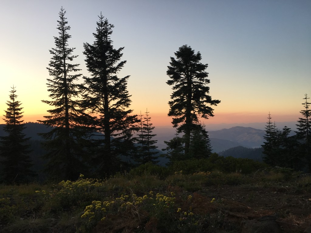
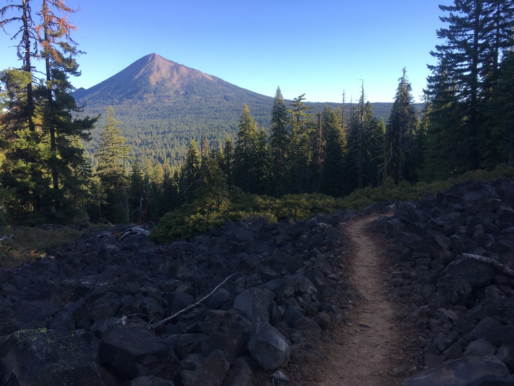
I had camped in a small valley between two long stretches of sharp volcanic rock. If there were one kind of terrain where I wish I had solid hiking boots rather than my light trail runners, this was it. Thankfully the trail was well-maintained and my feet didn’t hurt too badly as I shambled toward the rising cone of Mount McLaughlin in the distance.

Turning off of the main trail just before Highway 140, I took a short mile and a half detour to the Fish Lake Resort. Trekking across the lava rocks had piqued my appetite, and I sat down at a wooden table outside the resort restaurant ready to dig in to a gigantic tri-tip skillet. I washed down my breakfast with a cup of hot coffee while watching a fisherman toss a line out into the eponymously named lake. Feeling quite satisfied, I grabbed a couple of extra jelly packets for future peanut butter & jelly tortillas and quickly got back on the trail. Glimpses of the large Upper Klamath Lake peeked out beyond the hills to the east as I walked.

Day 67: Hyatt Reservoir to Lava Rocks

When I reached the well in the hot afternoon, sweaty and parched for the little water that flowed on this section of trail, it was already swarming with yellow jackets. I had arrived at the South Brown Mountain Shelter after a long, dry trek from the small depression where I had camped near the Hyatt Reservoir. The log cabin appeared cramped but serviceable, and even boasted an old wood-burning stove inside for cold nights. I needed to keep hiking, however, and soon turned my attention to the hand-pump well outside. Someone had attached a blue Sawyer water bag to the spigot in order to better direct the flow. Wary of the multitude of wasps buzzing violently around me (they had build a nest underneath the concrete slab covering the well) I grabbed hold of the long handle and with a significant effort began to pump.

To the delight of my thirsty body, after a minute or so a strong stream of clear water began to course from the pump. It was tricky to collect while keeping the flow going but I managed to fill my water bags and sat down at a picnic table to filter my prize. My impatience at the process was compounded by the yellow jackets, who insisted on landing on my water bottle and generally harassing me. Thankfully I managed to escape without a sting (one of my earliest memories is getting stung by a yellow jacket on the back of my hand during a preschool field trip). A group of horseback riders appeared as I took my leave of the shelter and pump, fully hydrated for the journey ahead.

Day 63: Piped Spring to Wrangle Gap

This was it. My final day in California. The Oregon border lay tantalizingly close, and after two months of trekking across the Golden State I was definitely ready for a new state (although the landscape would not change significantly until I reached the volcanoes of central Oregon). In all of my travels I have discovered that walking is the best way to get to know a place and this trip was no different. My journey this far had shown me exactly how big California really is, and I had not even hiked the 650 miles of southern desert! I crossed the border denoted by a signpost and trail register in the warm afternoon, signing my trail name in an excited hand. Less than 1,000 miles to Canada.

That evening was thankfully the first and only time I experienced wildfire smoke on the PCT. As the sun descended and I began to search for a good spot to pitch my tent I smelled an acrid scent lingering in the air. A light haze covered the rolling hills to the northwest, blurring the red and orange hues of the sunset while I watched night fall from my tent door. I had heard stories of hikers struggling through days of dense smoke and even entire sections of trail closing due to wildfires, and fervently hoped my path north would remain open and clear as I drifted to sleep.