Hiking over Pinchot Pass was easier than the previous two passes, but it still involved a long uphill slog through large snowfields and scrambling across a couple of treacherous outcrops of razor sharp rocks. By this time I had grown somewhat used to the High Sierra landscape of barren, brown peaks dusted with snow and interspersed with forested river valleys. It contrasted greatly with the mostly tree-covered mountains and gray granite in the Tahoe area where I grew up, only a few hundred miles to the north but significantly lower in elevation.
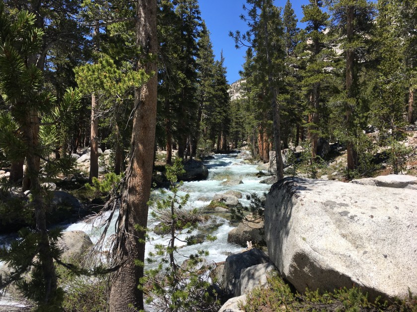
From Pinchot the track wandered down to the South Fork Kings River where a ranger had posted a sign warning not to cross the raging waterway at the trail. Instead we followed the ranger’s suggestion to trek upriver for 1.5 miles to a green meadow where the river braided into five or six smaller streams. Incidentally this was also the only point along the entire PCT when a ranger checked my permit. After a couple of false starts we managed to find the crossing and rejoin the PCT on the other side, winding its way back up toward the river’s headwaters and Mather Pass.

